|
Home
Military
Service
Science Policy &
Industry
Desert
Exploration
Art & Music
Publications
|
| |
 |
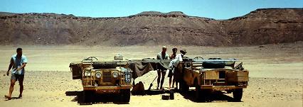
David N
Hall lead an expedition from Sandhurst during the summer holiday to south east
Libya. He was doing a tour as a military instructor and took a
team of 15, mostly cadets, to Libya for adventure training and
exploration of a desert plateau, the Hamada el Akdamin. The
expedition was in the hottest time of the year, so acclimatization was
taken with care. |
For a full account -
an extract from Hall's memoir
On the long journey down to
Kufra. Then 100 miles to Maaten Bisciara and 90 miles on to the
southern end of the plateau.
|
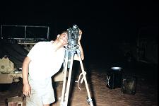
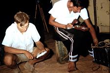
No satellite navigation in
1963! David Hall preparing the theodolite for night work.
|
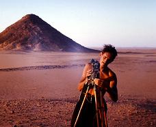
Taking the altitude of stars
for a position fix from at least three satrs.
|
Final check of the chronometer
from the wireless before taking theodolite readings. |
Dead reckoning by sun compass
- dead on course for Maaten Bisciara. |
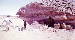
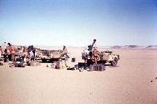
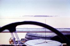
This natural shelter provided
a good navigational aid and a useful dump between the well and the
working area. |
The first signs of Neolithic
man found by the team: a stone circle. |

A short wadi leading down from
the plateau. |
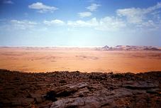
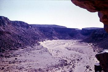
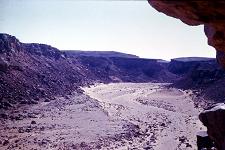
On the plateau looking down
over the desert. |

A magnificent scraper found on
the plateau, probably last used about four thousands of years ago. |
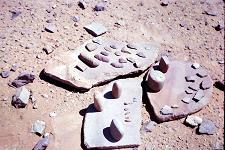
Some of the querns, grinders
and other Neolithic tools. |
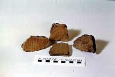
Samples of pottery (sadly
photographically reversed!) |
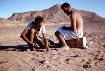
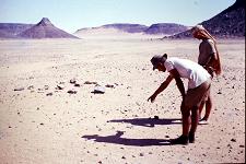
Professor Martin Williams taking notes
of the day's finds. |
The south east corner of
Hamada el Akdamin. |
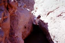
Over a thousand gallons of
water demonstrated heavy rain in the area. |
Hamada el Akdamin
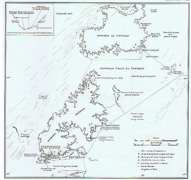
Map prepared by Martin Williams
|